Most visitors see Barcelona from above exactly once, from a crowded viewpoint, phone held high over someone else’s head. The locals’ version is longer, quieter and free: a broad dirt track along the flank of the Collserola hills where the whole city, from the Sagrada Família to the port, unrolls beside you for kilometre after kilometre. There is one big caveat for 2026, though, so start with that.
First, the closure: what is going on in Collserola
In November 2025, African swine fever was found in wild boar in the Collserola hills, and the Catalan authorities closed the natural park to leisure use. The Barcelona side, including the Carretera de les Aigües, briefly reopened in December 2025. Then, after a new infected boar was found within Barcelona’s city limits in March 2026, access was shut again. In September 2026, after fresh cases, the Catalan government extended the restrictions until at least the end of 2026.
While the restrictions apply, walking, running and cycling on Collserola’s dirt tracks are banned, and that includes this one. Paved roads, homes, FGC stations, restaurants and the Tibidabo amusement park have stayed accessible. Before you plan a trip, check the notices page on the Parc Natural de Collserola website (parcnaturalcollserola.cat). Even after reopening, there may be rules such as night-time closures, which were applied in early 2026. Everything below describes the path as it works when it is open.
A water main with a view
The name, “road of the waters”, is literal. When the Sant Pere Màrtir reservoir was built in 1909 to store water drawn from the Llobregat, a pipeline had to be laid across the hillside to a reservoir in Horta, and a service road was cut along it for workers and machinery. The pipe still runs underneath, carrying roughly 6,000 cubic metres a day to homes in the city’s highest neighbourhoods.
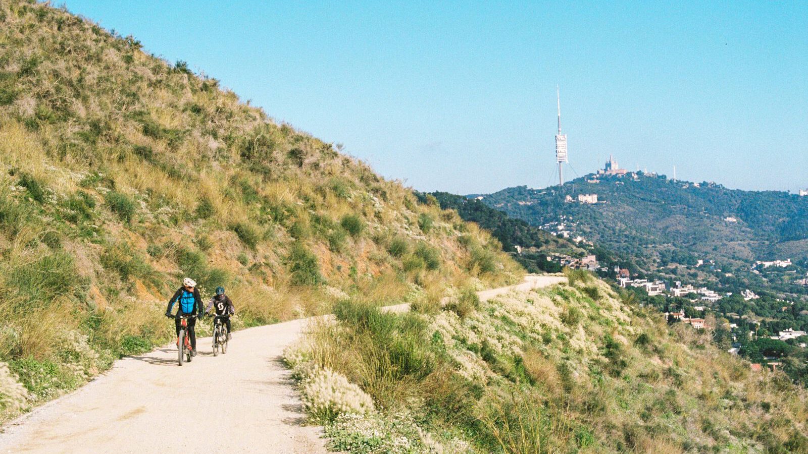
Because a pipeline has to follow a steady gradient, the road traces the contour of the hill and barely rises or falls. In total it runs roughly 9 to 10 kilometres, from the Penitents area in the east to Plaça Mireia on the edge of Esplugues de Llobregat in the west, on compacted sand and gravel. That flatness is why Barcelona’s runners and cyclists love it. It is also why it suits a gentle stroll, as long as you are fine with dust and the odd loose stone. Below you, the grid of the Eixample, Torre Glòries and the Sagrada Família line up against the sea, with Montjuïc and the port to the south.
Getting on: the funicular trick
The easiest way up does the climbing for you:
- Take the FGC train, line S1 or S2, from Plaça Catalunya to Peu del Funicular, roughly a quarter of an hour.
- Change to the Funicular de Vallvidrera, running since 1906. Its middle station, Carretera de les Aigües, is a request stop that opens straight onto the path.
- Everything is in fare zone 1, so a standard integrated ticket covers the train and the funicular.
- The funicular usually closes for a few weeks each August for its annual overhaul, with a replacement road service. Check FGC before a summer visit.
You can also join at either end, at Plaça Mireia in the west or from the Penitents side in the east, but both mean a stiffer climb on foot. The funicular stop drops you roughly midway, which is ideal for an out-and-back walk.
Which way to walk, and how far
At the funicular stop, one direction leads east towards Pla dels Maduixers and Tibidabo, the other west towards Plaça Mireia. Many regulars prefer the eastern stretch, which faces the city centre most directly and feels a little wilder. You do not need to walk all 9 kilometres to get the point. Walk 30 to 45 minutes in one direction, then turn back, and you will have had the best of the views. Cyclists can ride the full length in about an hour and a half.
This is a shared path, busy with runners and bikes at weekends, so keep to one side, keep an eye on children, and expect the occasional dog. Pushchairs cope on the firm surface, although it is not a smooth ride.
Heat, shade and the right hour
The view is the reason to come, and the light makes it. Early morning brings the clearest air and the quietest path. The hour before sunset turns the city gold below you, and that is when locals turn out to run. Avoid the middle of a summer day: long stretches have very little shade, the slope faces the sun, and there is no café on the path itself. There are a few drinking fountains along the way, but don’t rely on them. Bring water, a hat, sunscreen and proper shoes. In summer, also check Collserola’s wildfire alerts, which can bring restrictions on high-risk days.
Spring and autumn are ideal, and on a clear winter morning you can see a long way out to sea. Weekday mornings are calmest. Weekend mornings bring out half the city’s running clubs, which has its own charm.
Why it beats a fixed viewpoint, and what to do while it is shut
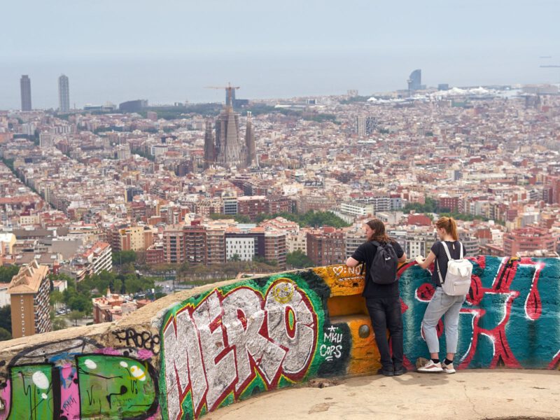
Montjuïc and the Bunkers del Carmel give you one view from one crowded spot. The Carretera de les Aigües gives you a moving panorama that you can stop wherever you like, and you share it with joggers rather than tour groups. If it is still closed when you visit, the bunkers or Montjuïc are the obvious stand-ins. Tibidabo, reachable by road and its own funicular, has also stayed accessible; check its opening calendar first. Note that the Laberint d'Horta garden, on the same edge of Collserola, has been caught up in the same closures, so check it too.